By Doug Alderson

Have you ever wondered about the individuals for whom the streets and buildings in downtown Tallahassee were named? Or the locations of Native American temple mounds and Spanish missions in Leon County? Or who owned what land in 1883?
The Tallahassee-Leon County Geographic Information System (GIS) team has developed more than a dozen historical story maps available for viewing that range from biographical sketches to women’s history, to aviation pioneers. A story map is an integrated way to view photos, maps and information on a computer or cell phone, and they often lend themselves to self-guided tours. In short, it’s a cool way to tell a story, and with so much history to explore in our area, the stories are numerous and varied.

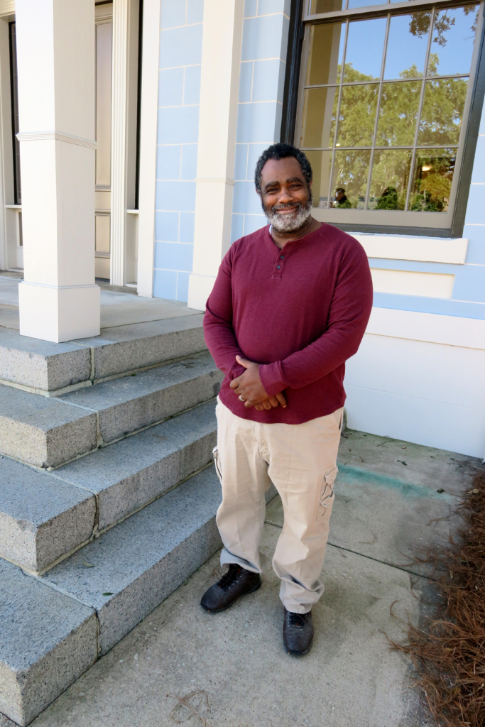
Marcus Curtis, Tallahassee-Leon County GIS Specialist
“Our primary focus is to support the local government, but interest in history has been so overwhelming from local citizens that we ventured down this path,” says Tallahassee-Leon County GIS Specialist II Marcus Curtis, who is considered the historian of the 13 member Tallahassee-Leon County GIS group. “Our focus was to identify compelling topics in the area that the public finds interesting.”
One of the most popular interactive story maps is aerial imagery that goes back to 1937. Through the program, one can compare and overlay contemporary aerial photos with those of past decades and see not only steady growth, but old alignments of roads and railroads. “Many roads have been realigned today for safety at higher speeds,” says Curtis. “For example, when we did the historic overlay, we can see where the Thomasville Road alignment had changed near Lake Hall. The Lake Hall one-room schoolhouse was right on Thomasville Road at one time and now it is a couple of blocks away.” The team is currently color enhancing the 1954 aerial imagery because the quality is clear and crisp, and they are anticipating releasing land surveys from the 1800s that are Geo-referenced.
The story map projects aren’t just geared towards interested adults and historical researchers. There is a kid’s corner with a matching game covering famous people in history, and two other games for youth are being developed.
Another popular feature has been self-guided historical scavenger hunts that are done with cell phones utilizing historical markers throughout the county. The first such hunt was released at the start of COVID as an opportunity for families to get out and see the countryside at their leisure in a safe way. It was well received, and the team wants to develop more in the future. Other family-friendly self-guided tours include the “Fort Braden History Walk,” “Historical African American Sites,” “Frenchtown,” and “Canopy Roads & Country Lanes.”
“GIS technology weds modern technology and good historical research in a way that is truly important,” said Bob Holladay, president of the Tallahassee Historical Society. “So much of early Tallahassee is, quite literally, obscured beneath our abundant forests and wilderness on the one hand, and parking lots and increasing development on the other. The story maps that the GIS team have developed are real eye-openers.”
Soon, a viewer can subscribe to the team’s newsletter and discover what new data will be available along with techniques, methodologies and various story maps. And all of the offerings will be housed in a Data Dictionary. So, stay tuned for more exciting story maps to come!
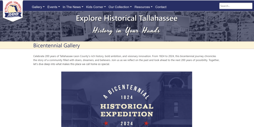
To begin your story map journey, log onto https://tlcgis.org/history.
Doug Alderson is a Tallahassee-Leon County Bicentennial content provider for Visit Tallahassee and the Chair of the Bicentennial History Task Force. He is also the author of several award-winning books about Florida history and natural history.
